AntennaAlign
Aim directional antennas with augmented reality, maps and terrain profiles.
The source code is not public.
Screenshots
Features
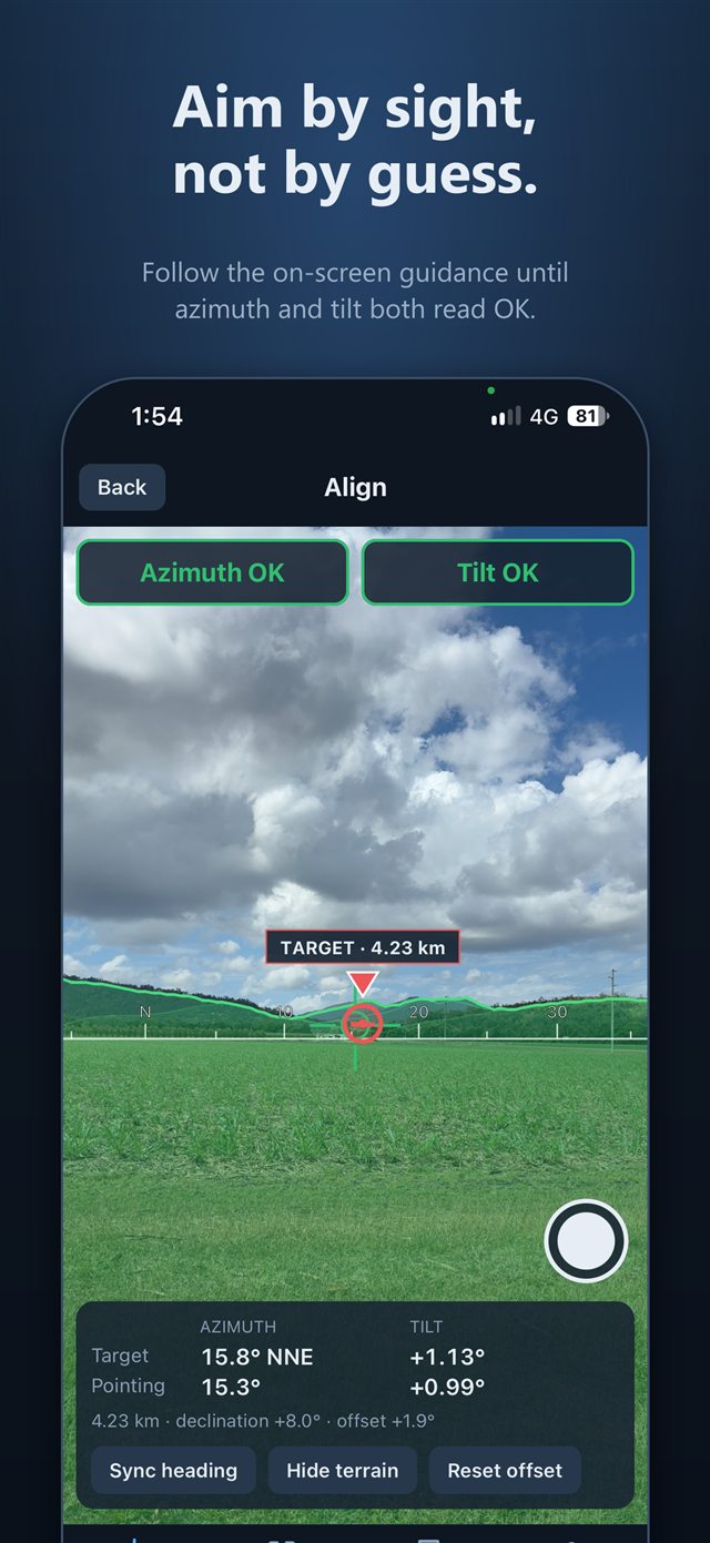
Align with augmented reality
A target marker appears over the real horizon, with turn and tilt guidance until it reads on target. Take a screenshot to keep a record of your setup.
See the terrain in the way
A terrain outline with shaded ridgelines out to around 100 km is drawn over the camera, and the app tells you when the target sits behind a hill.
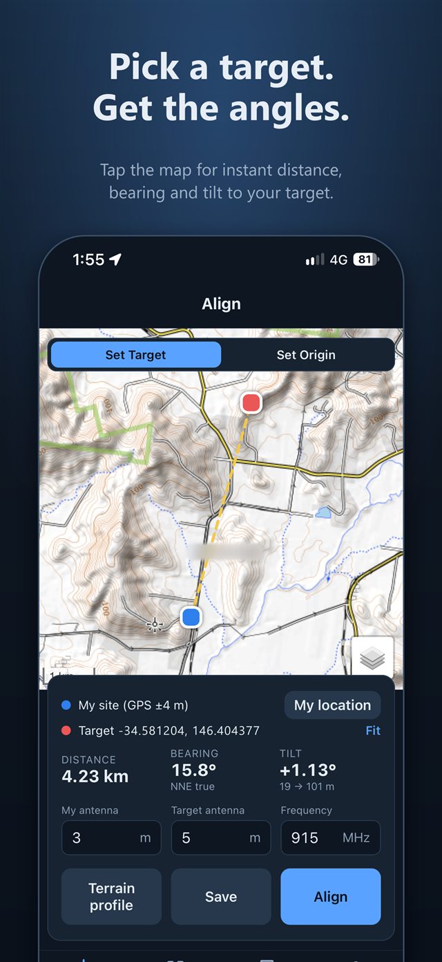
Plan on the map
Tap a topographic or satellite map to set the target. Your origin comes from GPS, or you can place it by hand.
Bearing, distance and tilt
True bearing, distance and tilt for your antenna heights, using ground elevation at both ends.
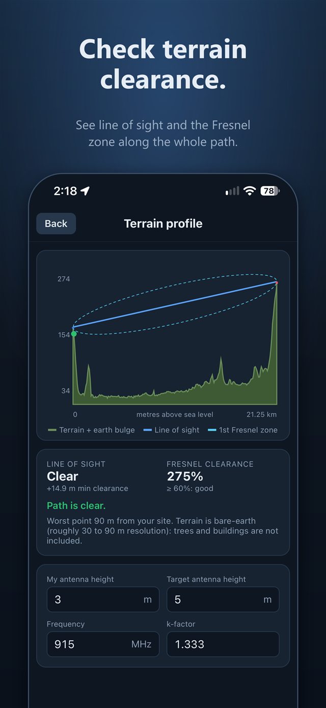
Check the path
A terrain profile with line of sight and first Fresnel zone clearance, including earth curvature and refraction. You get a verdict (clear, marginal or blocked) and where the worst point is.
Scan for cell sites (Australia)
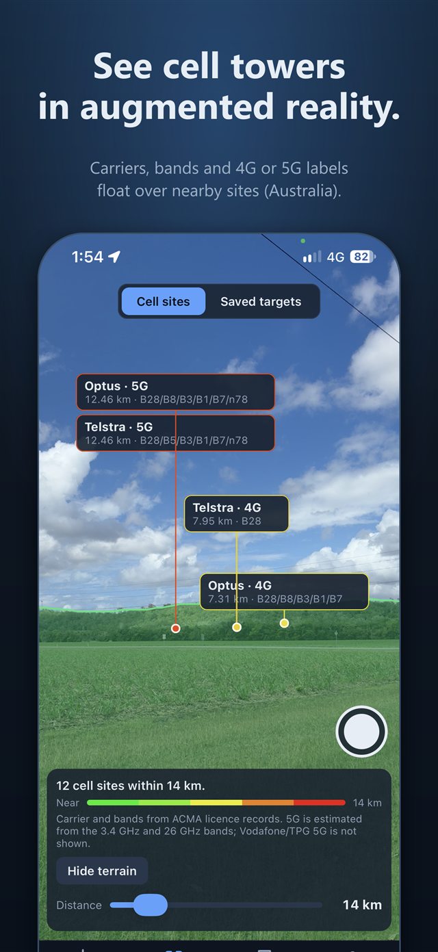
Hold up the camera to see labels over nearby Telstra, Optus and Vodafone sites with carrier, bands such as B28, B3 or n78, distance and estimated 4G or 5G. Built from ACMA licence records.
Scan your saved targets
Switch the scan view to your own targets to see their names and frequencies floating over the horizon. Labels run from green when near to red at your chosen scan distance.
Made for radio links
Set the frequency to match your radio, from 868 or 915 MHz for LoRa and Meshtastic to 2.4 or 5.8 GHz for Wi-Fi point-to-point links.
Saved targets
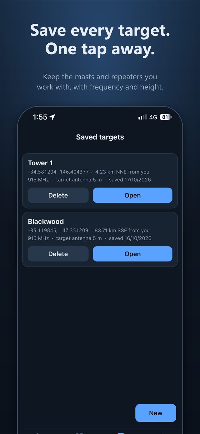
Save a target with its antenna height and frequency, and reopen it any time.
Calibrate for your phone
Magnetic declination is corrected automatically. Sync heading on a landmark you can see, or set compass, tilt and camera field of view offsets.
Private by design
No accounts, ads or tracking. Your location, camera view and saved targets stay on your phone. Light and dark appearance.